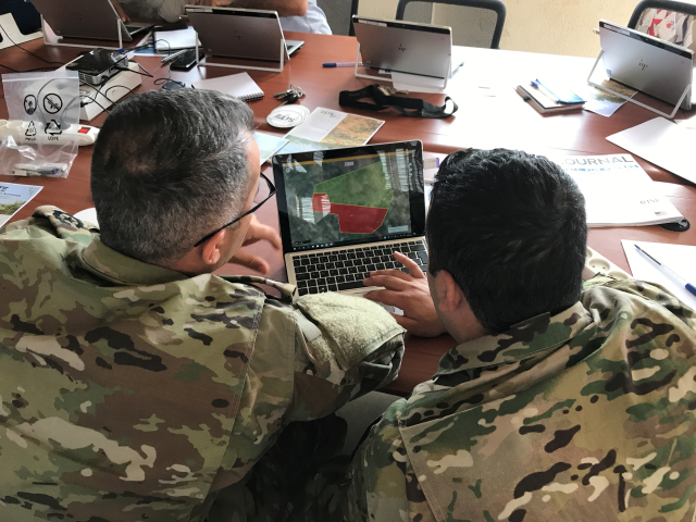
A user training on T-IMS has been conducted in Lebanon together with DCA and LMAC. The training took place in the area of Mount Lebanon and the outdoor exercises were conducted in a previously cleared and safe minefield. The training covered the phases of non-technical survey, technical survey, clearance activities, spot tasks and quality assurance activities.
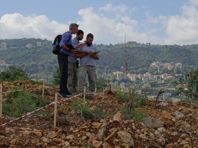
During the course, a complete documentation of the different suspected and confirmed hazardous areas in the training area were made in T-IMS. Points, lines and polygons were drawn and categorized. Photos were taken, videos captured, interviews were made and also added to locations in the map module. Dummy ordnance objects (land mines and cluster munitions) were identified in T-IMS’ ordnance module and likewise positioned in the map, either by pointing out their position/location in the map, by letting the GPS decide the their current position or by use of a laser rangefinder (TruPulse360R) that calculated, generated and automatically positioned the ordnance object in a distance. Furthermore, the GPS tracking facility was also used to create track lines and documentation of walking paths and routes, eg. between the benchmark and the starting point.
During this day, the QA-teams were also performing quality assurance activities on the other land release activities in the training area. At the end of the day, daily reporting was made by the site supervisors and finally all the field activities were uploaded and shared.
This T-IMS training was for the upcoming start of T-IMS pilot project.